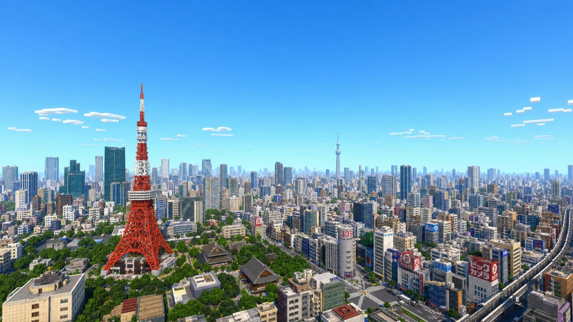
Behind the scenes: how OpenStreetMap data becomes a Minecraft world
You draw a rectangle, wait a few minutes, and get a Minecraft world. What actually happens in between? Here's the short version.
Step 1 — We ask OpenStreetMap what's there
OpenStreetMap (OSM) is a free, community-built map of the world. For your selected area we fetch its data: building footprints with heights, roads and paths, water, parks, land use, and points of interest.
Step 2 — We add terrain
Flat buildings on flat ground would look wrong. We layer in elevation data so hills, valleys, riverbanks, and coastlines come through — your city sits on the real shape of the land.
Step 3 — Arnis turns data into blocks
The heavy lifting is done by Arnis, an open-source engine written in Rust. It translates each map feature into Minecraft blocks: building outlines become walls with roofs, roads become paths, parks become grass and trees, water becomes water. Materials are chosen to match what's actually there.
Step 4 — We package and deliver
The result is written as a standard Minecraft save — a .mcworld for Bedrock or a world folder for Java — and we email you a link. For Java worlds we also render an explorable 3D preview in your browser with BlueMap.
Open source all the way down
The conversion engine is Arnis (Apache-2.0, by Louis Erbkamm and contributors); the map data is OpenStreetMap, under the Open Database License. MapMC's job is to make all of this work in your browser in a couple of minutes — no install, no command line.
If you normally begin with a familiar address in Google Maps, read the Google Maps to Minecraft guide for the exact MapMC workflow and why the generated world uses OpenStreetMap data instead.
Curious to see it on your own city? Open the generator →.